


















Lesson 16 of 43 · Transportation and Mobility
Transportation and Mobility: Overview
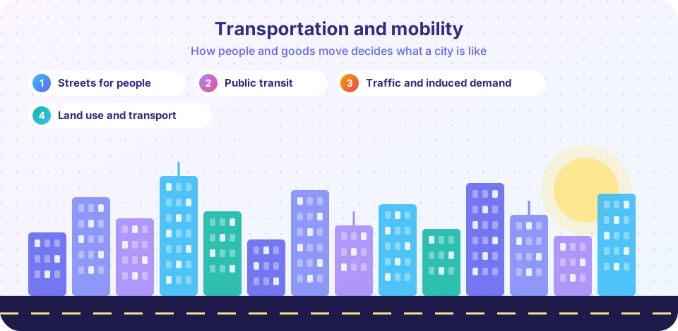
A roadmap to chapter 4: how land use and transport shape each other, what complete streets are, how transit works, and why traffic and induced demand matter to planners.
Ask someone about their city and, sooner or later, they will talk about getting around: the traffic on the way to work, the bus that never comes, the street that is too dangerous to cross with a child. Transportation is the circulatory system of a city, and it is also the part of urban life most people feel every day. Planners treat transport and land use as a single system, because each decides the other.
This chapter looks at the street as a shared space, public transit as a service with its own logic, and traffic as a system that responds to what we build. The aim is not to ban the car or to worship the train, but to understand what each mode does well and how to design places where people have real choices.
What you will learn
- Why land use and transport form one system.
- What the three lessons of this chapter cover.
- The main terms of mobility planning: mode, access, mobility, capacity and demand.
Key terms
Mode: a way of traveling, such as walking, cycling, bus, rail or car.
Mobility: the ability to move; accessibility is the ability to reach what you need, which can be improved by moving less far.
Capacity: the number of people or vehicles a street or line can carry per hour.
Mode share: the percentage of trips made by each mode.
Induced demand: extra travel generated when travel becomes easier or faster.
Land use and transport are one system
A well-known loop runs as follows. Where homes, jobs and shops are located determines where people need to go. The transport system determines how easily they can get there. Easy access raises the value of land, which attracts new development, which changes where people need to go. The cycle repeats.
Two consequences follow. First, you cannot solve transport problems by transport alone. A suburb with low density and separated uses will produce car trips almost regardless of how many bus lines you add. Second, you cannot plan land use without thinking about access. Dense development with no good way to get there will clog the streets.
It also helps to separate mobility from accessibility. Mobility is how far and fast you can move. Accessibility is how many useful places you can reach with a reasonable effort. A neighborhood with a grocery store around the corner has high accessibility with very little mobility. A planner's aim is often to increase accessibility, which can mean building a faster road, or can mean allowing a shop nearer to homes.
Streets are for people
Public transit
Traffic
Roadmap of the chapter
- Streets for people. What a street is for, how speed and design decide safety, what complete streets and traffic calming do, and how to read a cross-section.
- Public transit. Modes from bus to metro, why frequency matters, how stops are spaced, and how networks are designed.
- Traffic and induced demand. How planners model trips, why congestion persists, and what actually reduces it.
- Chapter 4 review. A recap and a ten-question quiz.
Why this matters
Transport accounts for a large share of a city's energy use and emissions, a substantial share of its land (streets and parking can take a quarter or more of a central city's area), and a heavy share of household budgets. Road crashes kill about 1.2 million people worldwide each year according to World Health Organization estimates, and walking and cycling are among the most exposed. Choices about streets and transit therefore affect safety, cost of living, health and the climate all at once.
Try it
A quick tool: pick a trip length and see how long it takes by different modes at typical urban speeds. The speeds are rough averages; real trips depend on traffic, waiting and walking to stops.
Press Run (or Ctrl + Enter) to see the console output here.
No output.
Check your understanding
Quick check · 3 questions
of 3 answered You scored / 3 · perfect!
-
1. What is the difference between mobility and accessibility?
Accessibility can be improved by placing things closer together, with no increase in speed or distance traveled. -
2. Why can't transport problems be solved by transport alone?
Land use and transport form one system: each shapes the other. -
3. Roughly how many people die in road crashes worldwide each year, according to WHO estimates?
WHO reports about 1.2 million road traffic deaths a year, with pedestrians, cyclists and motorcyclists among the most vulnerable.
Summary
- Land use and transport shape one another, so planners treat them as one system.
- Accessibility, not just mobility, is the goal.
- Chapter 4 covers streets, public transit and traffic, including the surprising behavior called induced demand.
Next: Streets for People
Track your progress
Create a free account to tick off lessons and pick up where you left off on any device.
of Urban Planning lessons completed